Master Plans Supplemental Services
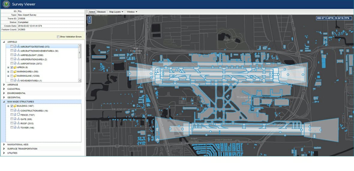
Arora Engineers, Inc. (Arora) has been providing FAA Airports Geographic Information Systems (AGIS) data collection and compilation, and utility data assessment and adjustment for the Fort Lauderdale-Hollywood International Airport (FLL) and North Perry Airport (HWO) Master Plans. Arora participated in the project from initial photogrammetric data collection oversight through extensive data compilation, quality control, and final submittal.
SCOPE OF WORK INCLUDED:
- Management and oversight of the FAA-compliant AGIS process, primarily data discovery, compilation, and AGIS submittal coordination.
- Coordination with survey firm on aerial imagery collection, and photogrammetry, and quality control & assurance.
- Compilation of additional information for a full AGIS data set appropriate for a master plan. Mined data from master plan’s inventory data stored on the prime’s cloud file repository.
- Incorporated information including Exhibit A property and land use data into cadastral feature classes, environmental data, and other supplemental features and attribution based on readily-available data from airport and other public sources.
- Analysis of BCAD’s current GIS data and leveraging AGIS data for master geodatabase geometry and attribution feature enhancements.


