News | Jun 08, 2023 | Christyn Binder
Visualizing Data Has Never Been Easier with the New Airport Geographic Information System
Arora Engineers (Arora) was recently featured in the Snohomish County Connects Newsletter in an article entitled “Visualizing Data Has Never Been Easier with the New Airport Geographic Information System.”
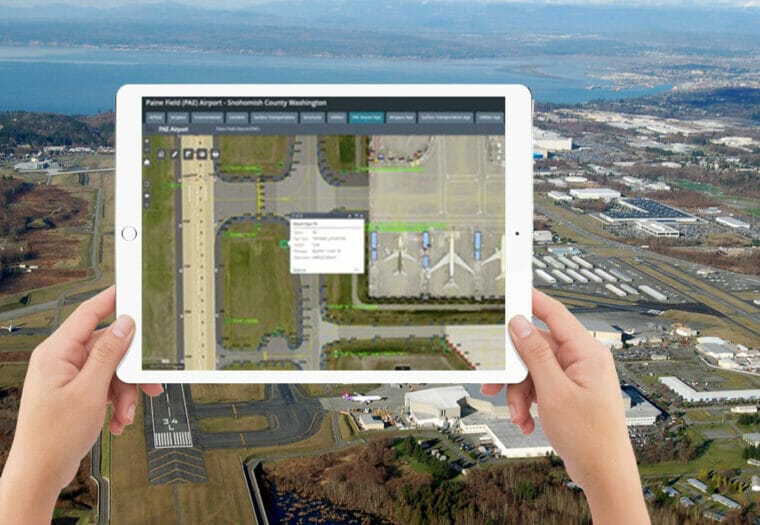
Paine Field Airport’s (PAE) engineering and planning division recently introduced the development of a Geographic Information System (GIS) at the airport. Working as the Prime Consultant, the Arora team completed a strategic plan for an integrated data management solution for the airport. As a result of this plan, Arora provided services that included several aspects of data management and application development. Arora also organized all the airport’s spatial data into a GIS database.
The type of data that goes into a GIS database is most anything you would see on a map such as airfield lights, gate locations, lease areas, utility lines, and more. Developing a GIS offers a multitude of benefits including better data security, improved data quality control, better organization, configurable web applications, and spatial analysis tools available through GIS software.
Staff members throughout PAE have contributed to the GIS development as well as taken advantage of the GIS mapping capabilities. PAE hopes to develop more web applications as well as provide publicly available data soon.
To learn more about Arora’s scope of work on this project, click here.
To read the full article, click here.


