News | Jul 30, 2025 | Anne Keener
Exploring the Future of GIS at Esri UC 2025: Innovation, Indoors, and Education
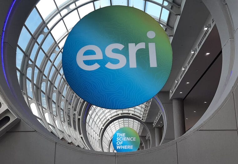
The Arora Engineers (Arora) team recently joined 15,000 geospatial professionals at the 2025 Esri User Conference in San Diego, California. This annual gathering is a cornerstone event for the GIS community, and this year’s theme —“GIS — Integrating Everything, Everywhere”—delivered an inspiring and comprehensive look at how organizations are leveraging GIS to power smarter decisions, streamline operations, and enable transformation across industries.
From groundbreaking innovations in AI, Digital Twin tech, and augmented reality (AR) / virtual reality (VR) to cutting-edge applications of Indoor GIS for education and infrastructure focused solutions, the conference highlighted how Esri’s ecosystem continues to evolve to meet the demands of complex, data-driven environments.
Here are our top takeaways from a dynamic week of learning, connecting, and looking ahead at what’s next in geospatial technology.
Indoor GIS: From Blueprint to Operations
Indoor GIS remained a standout focus across multiple sessions, from the Indoor GIS Special Interest Group to deep dives on 3D modeling, floor-aware maps, and Indoor Positioning Systems (IPS). Across sessions and demos, it was clear that floor-aware mapping, real-time spatial analytics, and facility-based routing and visualization are transforming how large, complex indoor environments like terminals, campuses, and public buildings are maintained, navigated, and managed.
At Arora, we’ve seen firsthand how Indoor GIS can bridge the gap between design intent and day-to-day operations. In recent implementations across major transportation and public facilities, our teams have helped clients deploy ArcGIS Indoors environments that integrate spatial data with asset management, lease and space planning, and real-time occupancy tracking. These solutions are not only improving wayfinding and operational awareness, but also enabling smarter decisions through the integration of IoT sensors, Wi-Fi data, and secure analytics platforms.
User Conference sessions spotlighted how airports like DFW, SFO and DEN are building digital twins with Indoor GIS and LiDAR, dramatically reducing time-to-data availability after construction. Tools like Indoors are also enabling real-time operations by integrating with BIM models, facility data, and mobile apps for indoor navigation and emergency response.
The power of Indoor GIS lies in its versatility: it supports everything from day-to-day maintenance to long-term capital planning, and provides the spatial context needed to respond swiftly in emergencies, track usage trends, or optimize space utilization across sprawling facilities. As Esri continues to advance its Indoors platform, Arora looks forward to helping even more organizations unlock the full potential of their indoor environments.
AI, AR/VR, and the Acceleration of Innovation
This year’s plenary sessions and technical talks confirmed what many in the infrastructure industry are already feeling: artificial intelligence (AI) and immersive technologies like AR and VR are becoming core tools in infrastructure planning and management.
We saw powerful examples of AI being used to automate data extraction, analyze imagery, and predict infrastructure needs. Presenters from across the globe demonstrated how AR / VR are enhancing planning, design, and construction—particularly for complex environments like airports and urban campuses. By integrating these technologies with ArcGIS, organizations can identify utility conflicts, visualize underground assets, and deliver real-time insights to field teams, stakeholders, and the public.
At Arora, we see this as a natural evolution of our GIS + BIM + Asset Management strategy, supporting clients from planning through operations. As digital twins become more dynamic, this fusion of data, space, and intelligent technology will be critical to managing and maintaining critical infrastructure.
GIS for Education: Safer, Smarter Campuses
Educational institutions are increasingly turning to Indoor GIS to streamline campus operations, enhance safety, and improve the student experience. Conference sessions like Safer Schools with ArcGIS Indoors and the Smart Campus Operations SIG demonstrated how schools and universities are leveraging floor-aware mapping, indoor positioning, and mobile wayfinding to make data-driven decisions across their facilities.
From space planning and asset tracking to emergency preparedness, Indoor GIS enables a unified view of buildings and infrastructure. Universities are using it to filter leased versus vacant areas, visualize maintenance workflows, and route work orders with floor-level precision. In safety applications, indoor-aware maps help administrators and first responders quickly locate rooms, exits, and high-risk areas—supporting faster, more coordinated responses during critical incidents.
As an ArcGIS Indoors Specialty partner, Arora helps clients transform static architectural drawings into dynamic, interactive maps that support everything from daily operations to long-range planning. These solutions empower institutions to manage space more efficiently, enhance accessibility, and create smarter, more resilient learning environments.
To learn more, check out Arora’s geospatial offerings!
Interested in how GIS can support your infrastructure goals? Contact Kirsten Cerro, PE, MBA to schedule a meeting and explore how Arora can help.


