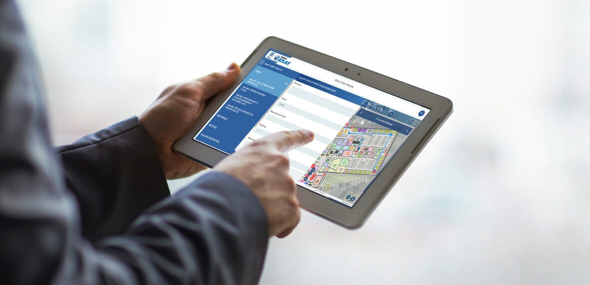
Arora ATLAS® Indoor Maps offers a powerful solution for seamless asset management and indoor navigation. Streamline workflows, optimize resources, and enhance user experiences within complex indoor environments.
The Arora ATLAS® suite of mobile products integrates with IBM’s Maximo® Enterprise Asset Management software and Esri’s ArcGIS software, including ArcGIS Indoors, to simplify asset management and revolutionize facility maintenance workflows.
- Comprehensive Asset Management: Seamlessly track, monitor, and maintain assets and work orders across outdoor and indoor spaces.
- Enhanced Spatial Understanding: Gain insights into asset locations and spatial relationships for improved decision-making.
- Intuitive Indoor Navigation: Provide users with interactive wayfinding and turn-by-turn navigation within complex indoor environments.
- Point of Interest Guidance: Help users locate specific points of interest with step-by-step directions and optimal path highlighting.
- Multi-Floor Navigation: Seamlessly navigate between different floors or levels within buildings.
The integration of ATLAS and Indoor GIS enables organizations to effectively manage both outdoor and indoor assets while providing users with intuitive wayfinding and turn-by-turn navigation within complex indoor environments.
Features
- Interactive Indoor Navigation
- Point of Interest Guidance
- Accessibility Support
- Location-Based Services
- Multi-Floor Navigation
![]() Download Arora ATLAS® Fix + Inspect + Indoor Maps Capabilities Statement
Download Arora ATLAS® Fix + Inspect + Indoor Maps Capabilities Statement


